
How to Start Mountaineering: First Routes in the Alps
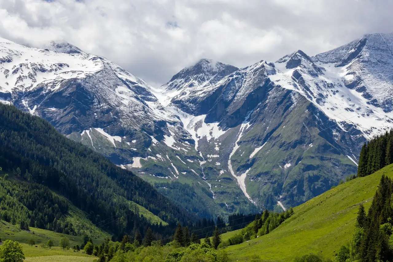
Photo: Balazs Simon
Regional Overview
The Alps – stretching across eight European countries – are where mountaineering as we know it was born. From the granite spires of Chamonix to the icefields of Switzerland, the rugged limestone ridges of Bavaria, and the glaciated valleys of Tyrol, this range has shaped generations of climbers.
For beginners, the Alps are the ideal classroom: easily accessible, well-mapped, dotted with comfortable mountain huts and reliable guides. Cable cars can take you high into the snowline, where you can safely learn glacier travel, rope techniques, and high-altitude pacing – without venturing into expedition-style hardship.
In this first part of our “How to Start Mountaineering in Europe” series, we focus on four of the easiest, most beautiful first ascents – one each from France, Switzerland, Germany, and Austria – designed to build confidence and experience for aspiring alpinists.
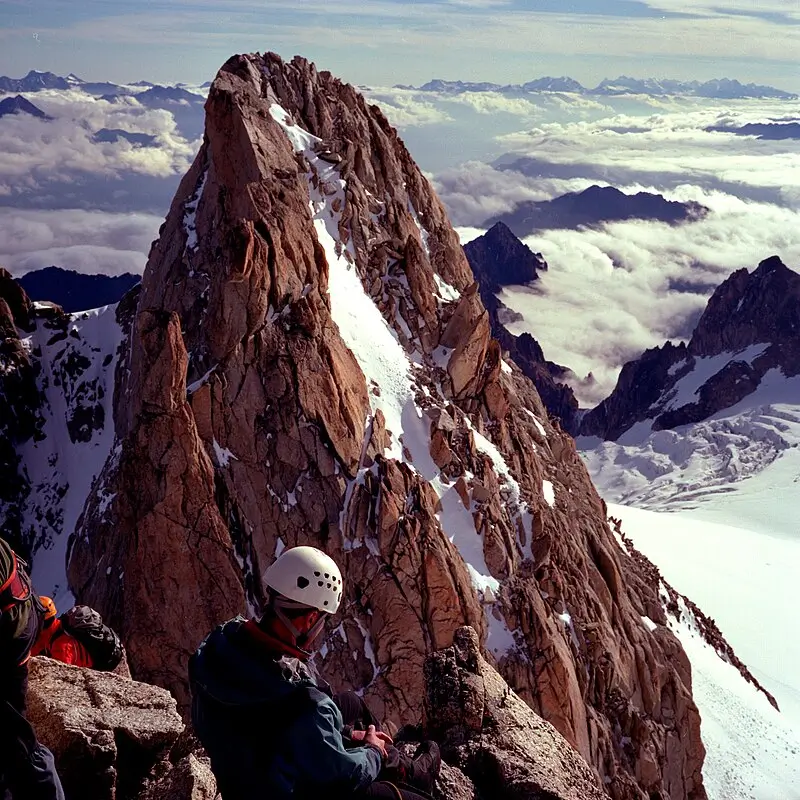
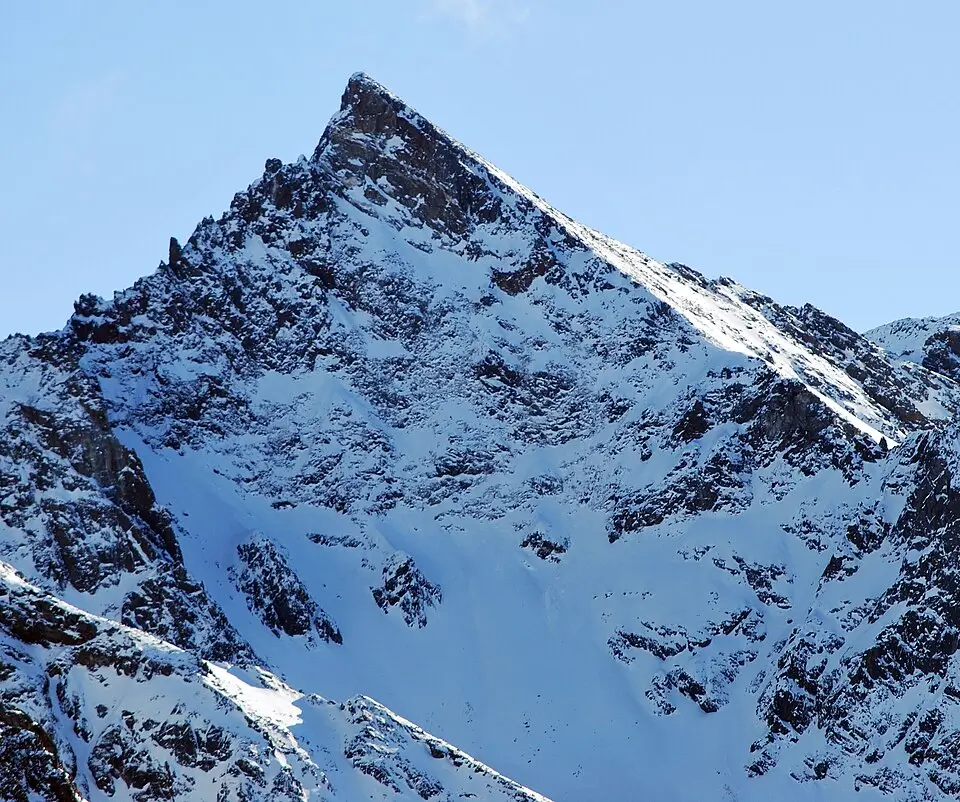
Aiguille du tour, Photo: Nicolas Vigier – Flickr
France – Aiguille du Tour (3,540 m)
Mont Blanc Massif, Haute-Savoie
Overview
If you dream of starting your mountaineering journey surrounded by the giants of Chamonix, the Aiguille du Tour is your perfect introduction. Rising elegantly between France and Switzerland, this 3,540-meter peak offers everything a first-timer could want: a glacier approach, a short rocky scramble, and a summit panorama that sweeps across the Mont Blanc Massif.
The route is non-technical, but you’ll experience all the classic elements of alpinism – crampons crunching over snow, the steady rhythm of a rope team, and the satisfaction of topping out on your first Alpine summit.
Access / Base Location
Most climbers start from Chamonix (France) or Trient (Switzerland). The approach from the French side begins at the Col de Balme, followed by a hike to the Albert Premier Hut (2,702 m), which serves as the base. The hut offers hearty meals, bunk rooms, and a sunrise view of the Trient Glacier – a perfect place to prepare and practice basic rope work before your summit push.
Easiest Route
From the hut, you step directly onto the Trient Glacier, roped together with your partners. The ascent follows gently inclined snow and ice slopes toward the Col Supérieur du Tour, then transitions into a short scramble (Grade I–II) over firm granite blocks to the summit. Expect 3–4 hours of climbing and 2 hours of descent. Guided ascents often start around 4 a.m. to take advantage of firm snow. The route is typically graded F (Facile) – easy, but still demanding awareness of glacier travel and crevasse safety.
Best Season & Difficulty
Best Season: Mid-June to mid-September
Difficulty: F (Facile), ideal for first-time climbers
Duration: 2 days (hut night + summit day)
Why It’s Good for Beginners
Aiguille du Tour is often called the “first true alpine summit.” It introduces essential mountain skills in a forgiving setting, with professional guides easily available in Chamonix. You’ll gain a real sense of adventure without technical stress – and come away ready for your next challenge, perhaps in Switzerland.
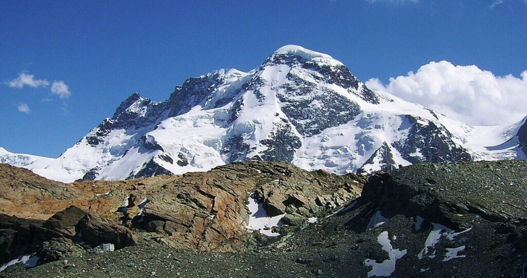
Switzerland – Breithorn (4,164 m)
Valais, Pennine Alps
Overview
The Breithorn, standing above Zermatt and facing the Matterhorn, is perhaps the most accessible 4,000-meter peak in the world. It offers beginners the thrill of reaching major altitude – walking across an open glacier toward one of the Alps’ most iconic skylines. Despite its relative ease, the Breithorn remains a true high-mountain climb. You’ll rope up, wear crampons, and ascend over a real glacier -all within half a day. The reward: a summit view stretching from Monte Rosa to Mont Blanc.
Access / Base Location
Access couldn’t be easier. From Zermatt, take the Klein Matterhorn cable car to 3,883 m – one of the highest lift stations in Europe. From here, you step directly onto the Theodul Glacier, already surrounded by a 360° panorama of the Swiss and Italian Alps.
Most beginners join certified Swiss guides who provide ropes, technical instruction, and pacing.
Easiest Route
The Normal Route (West Summit) is the classic beginner’s line. It crosses the glacier on a gradual incline before a steeper final slope leads to a snow ridge and the summit cross. The round trip takes 3–4 hours, and the route is graded F (Facile).
More confident climbers sometimes continue along the ridge for a full Breithorn Traverse, bagging additional summits.
Best Season & Difficulty
Season: June to early October
Difficulty: F (Facile) – suitable for guided beginners
Duration: 3–4 hours total
Why It’s Good for Beginners
The Breithorn provides real alpine conditions without extreme effort. You’ll learn the basics of glacier travel, rope techniques, and altitude pacing – with minimal approach and maximum safety. It’s the perfect first 4,000er and a stepping stone toward Allalinhorn or Gran Paradiso.
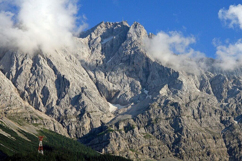
The north face of the Zugspitze seen from the Eibsee lake, Photo: Octagon
Germany – Zugspitze (2,962 m)
Bavarian Alps
Overview
Germany’s highest mountain, the Zugspitze, rises just under 3,000 m and offers several beginner-friendly ascents. Unlike the glaciated peaks farther south, the Zugspitze introduces alpine conditions in a more accessible way – blending hiking, via ferrata, and panoramic views over Austria’s Tyrol.It’s a mountain where hikers turn into mountaineers, gaining confidence with exposure, climbing gear, and route-finding – without committing to full glacier travel.
Access / Base Location
Base yourself in Garmisch-Partenkirchen, a charming alpine town famous for skiing and hiking. From there, you can either hike the entire route or take the Eibsee cable car or Zugspitzbahn cogwheel train to shorten the approach. Mountain huts like the Reintalangerhütte or Knorrhütte provide classic Bavarian hospitality en route.
Easiest Route
The Reintal Route is the easiest and most scenic. It winds through alpine meadows and waterfalls before reaching the Zugspitzplatt plateau, where you can continue on foot or take the final cable car to the summit ridge. Some hikers opt for the Höllental Route, which includes sections of via ferrata (iron rungs and cables) – a thrilling introduction to vertical movement with a harness and lanyard.
Best Season & Difficulty
Season: June to September
Difficulty: Moderate; non-technical hiking with optional via ferrata sections
Duration: 1–2 days depending on route
Why It’s Good for Beginners
The Zugspitze is ideal for those who want to bridge hiking and mountaineering. You’ll gain experience with altitude, endurance, and basic safety systems – all while enjoying Bavarian beer at the summit restaurant.
Austria – Sulzkogel (3,016 m)
Ötztal Alps, Tyrol
Overview
The Sulzkogel, located near Kühtai in the Tyrolean Alps, is often described as “the perfect first 3,000-meter peak.” It’s a compact, accessible summit that delivers the full alpine experience – rocky ridges, small glaciers, and vast views – without extreme risk. This climb introduces Austrian alpine style: well-marked trails, friendly huts, and a focus on mountain culture as much as adventure.
Access / Base Location
Most ascents begin from Kühtai (2,020 m), an easily reachable resort area 35 km west of Innsbruck. Parking and trailheads are clearly marked, and the Finstertaler Stausee reservoir provides a scenic start. The Sulzkogel route can be done as a day climb or combined with other 3,000 m peaks for a longer adventure.
Route Summary (Easiest Route)
The classic route follows a well-marked path past the reservoir and up gentle rocky slopes, transitioning to snow or ice patches near the summit ridge. A short scramble leads to the top. Total ascent: ~1,000 m, taking 4–6 hours round trip. No glacier travel is required in late summer.
Best Season & Difficulty
- Season: July to September
- Difficulty: Moderate; no technical climbing, but good fitness required
- Duration: 4–6 hours
Why It’s Good for Beginners
Sulzkogel offers big-mountain atmosphere with small-mountain effort. You’ll reach the 3,000-meter mark, learn about pacing and alpine weather, and stand on a real Tyrolean summit without needing advanced equipment. It’s a perfect confidence-builder before moving toward glaciated peaks like Wildspitze or Weisskugel.
Final
The Alps reward preparation, patience, and humility. Whether your first summit is the snowy Breithorn or the rocky Sulzkogel, each climb will teach you something essential – how to move safely in a rope team, how to read the mountain’s mood, and how to respect the rhythm of weather and altitude.
Start with well-known beginner routes, climb with certified guides, and enjoy the process more than the peak. In the Alps, your first steps on snow are just the beginning of a lifelong adventure.

Share this post:


Comments