
How to Start Mountaineering: The Saint Elias Range
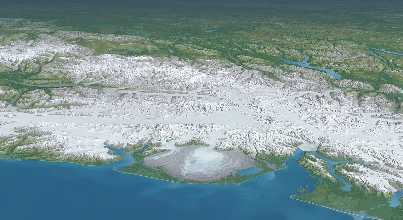
3D rendered panorama of the Saint Elias Mountains, Photo: Tom Patterson
Regional Overview
Straddling the border between Canada (Yukon) and Alaska, the Saint Elias Range is one of the most dramatic and remote mountain regions in North America. Home to some of the continent’s highest peaks – including Mount Logan and Mount Saint Elias – the range is often associated with big, glaciated expeditions and extreme weather.
Yet not every mountain here is reserved for elite alpinists. On the fringes of the range, especially within Kluane National Park, several peaks offer non-technical routes, gradual glacier travel, and excellent terrain for learning basic mountaineering skills. For beginners ready to step beyond roadside climbs and into true wilderness, the Saint Elias Range provides a powerful introduction to expedition-style mountaineering in Canada.
This guide focuses on four accessible peaks and routes that allow novice mountaineers to safely experience glaciers, altitude, and remote alpine environments.

Mt. Maxwell, Photo: Eggbones
Mount Maxwell (2,440 m)
A quiet alpine summit offering expansive views and an ideal first step into Saint Elias terrain.
Overview
Mount Maxwell sits on the eastern edge of the Saint Elias Range, overlooking Kluane Lake and the rolling alpine landscapes of southwestern Yukon. While significantly lower than the giants deeper in the range, its position offers a genuine alpine atmosphere, with wide-open slopes, exposed ridges, and long sightlines toward glaciated peaks in the distance.
Access / Base Location
The mountain is typically approached from the Haines Highway, making it one of the most logistically straightforward objectives in the region. No aircraft access is required, and the approach can be completed on foot from roadside pullouts, depending on conditions.
Easiest Route
The easiest route follows open alpine terrain, gradually gaining elevation along grassy slopes and rocky ridgelines. Near the summit, light scrambling may be required, but the route remains straightforward and non-technical throughout. Careful navigation is important, particularly in poor visibility.
Best Season & Difficulty
Best Season: Late June to early September
Difficulty: Easy (Class 2-3)
Duration: 1-2 days
Why It’s Good for Beginners
Mount Maxwell is an excellent transition peak for hikers moving toward mountaineering. It builds confidence in route-finding, weather judgment, and exposed terrain without introducing glacier hazards or technical climbing.

Observation Mountain (3,174 m)
A broad alpine peak rising above the edge of the Kaskawulsh Glacier.
Overview
Observation Mountain offers a step deeper into the Saint Elias environment, with higher elevation, snow-covered slopes, and expansive glacier views. From its upper ridges, climbers gain a dramatic perspective of the Kaskawulsh Glacier system, one of the largest in Canada.
Access / Base Location
Access is usually arranged through Kluane National Park, often involving bush flights to remote landing areas near glacier margins. All climbers must register with Parks Canada, and self-sufficiency is essential.
Easiest Route
The standard ascent follows moderate snow slopes and broad ridgelines. While nearby glaciers dominate the landscape, the easiest route avoids complex crevasse zones, allowing climbers to focus on snow travel and pacing rather than technical navigation.
Best Season & Difficulty
Season: Late May to early August
Difficulty: Easy-Moderate (F / PD-)
Duration: 3-4 days
Why It’s Good for Beginners
Observation Mountain introduces beginners to snow climbing, crampon use, and high-camp routines without overwhelming technical challenges. It’s a natural progression toward longer glacier-based objectives.
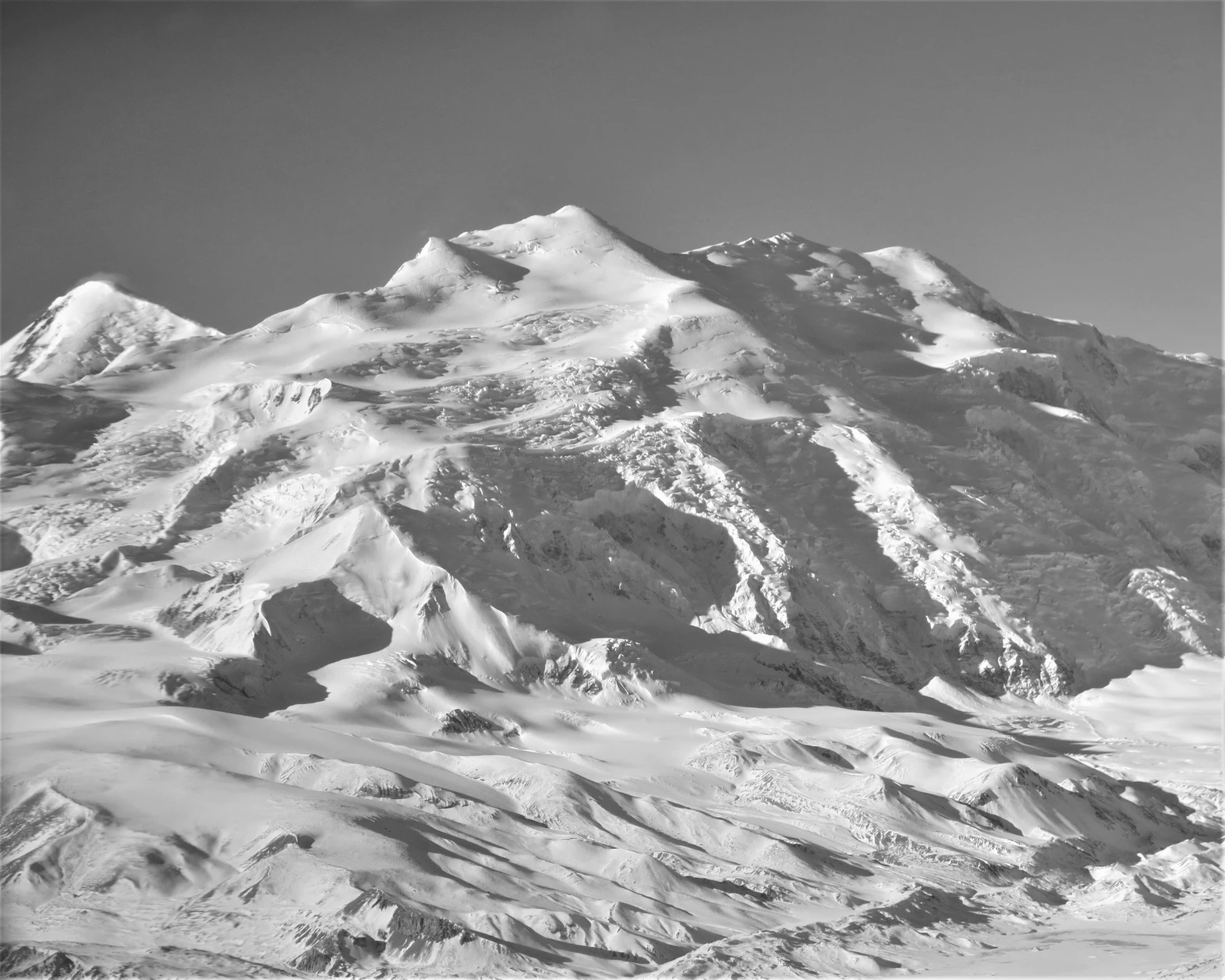
Mount Wood, Photo: pascalemarceau.com
Mount Wood (2,914 m)
A remote snow-covered summit offering solitude and classic mountaineering terrain.
Overview
Mount Wood lies within the quieter reaches of the Saint Elias Range and is often overlooked in favor of taller neighbors. Its wide snowfields and gentle upper slopes, however, make it a rewarding and manageable objective for novice mountaineers seeking a more remote experience.
Access / Base Location
Most ascents involve bush flights from Haines Junction to snowfields or high alpine plateaus. The remoteness of the area demands careful planning and strong self-reliance.
Easiest Route
The normal route follows long, moderate snow slopes with minimal objective hazards under stable conditions. Depending on the season, roped travel may be necessary, but the climbing itself remains non-technical.
Best Season & Difficulty
Season: May to July
Difficulty: Easy (F)
Duration: 3-5 days
Why It’s Good for Beginners
Mount Wood allows beginners to practice glacier awareness, snow travel, and expedition pacing in a low-pressure environment. It’s ideal for climbers building experience away from established trails.

West aspect of Mount Mary , Photo: Enrico Blasutto
Mount Queen Mary (4,200 m)
Mount Queen Mary (4,200 m)
Overview
Mount Queen Mary is one of the more approachable 4,000-meter peaks in the Saint Elias Range and a popular choice for first-time high-altitude climbers in Canada. Its broad glaciers and moderate summit slopes provide a manageable introduction to longer expeditions.
Access / Base Location
Access is typically by ski or bush plane into the glacier systems of Kluane National Park. This is a full expedition requiring permits, careful logistics, and strong team coordination.
Route Summary (Easiest Route)
The standard route follows extensive glacier approaches before ascending moderate snow slopes toward the summit. Crevasse navigation is required, but the terrain remains technically straightforward under good conditions.
Best Season & Difficulty
- Season: May to early June
- Difficulty: Moderate (PD-)
- Duration: 7-10 days
Why It’s Good for Beginners
For well-prepared beginners, Mount Queen Mary offers everything that defines expedition mountaineering – glaciers, altitude, weather management – without steep or technical climbing. It’s a powerful learning experience for those ready to commit.
Final
The Saint Elias Range represents one of the most dramatic mountaineering environments in North America, but it is not off-limits to beginners. On its outer edges, these mountains provide a rare opportunity to learn glacier travel, expedition planning, and alpine judgment in a truly wild setting.
Starting here is not about difficulty or speed. It’s about patience, preparation, and respect for scale – qualities that form the foundation of every successful mountaineer.

Share this post:


Comments
1 Comments
great issues altogether, you just won a brand new reader. What could you suggest about your post that you simply made some days ago? Any certain?